
 EN
EN
 ar
ar bg
bg hr
hr cs
cs da
da nl
nl fi
fi fr
fr de
de el
el hi
hi it
it ko
ko no
no pl
pl pt
pt ro
ro ru
ru es
es sv
sv tl
tl iw
iw id
id lv
lv lt
lt sr
sr sk
sk sl
sl uk
uk vi
vi et
et hu
hu th
th tr
tr fa
fa ms
ms hy
hy ka
ka ur
ur bn
bn mn
mn ta
ta kk
kk uz
uz ku
ku
Tilt Sensor
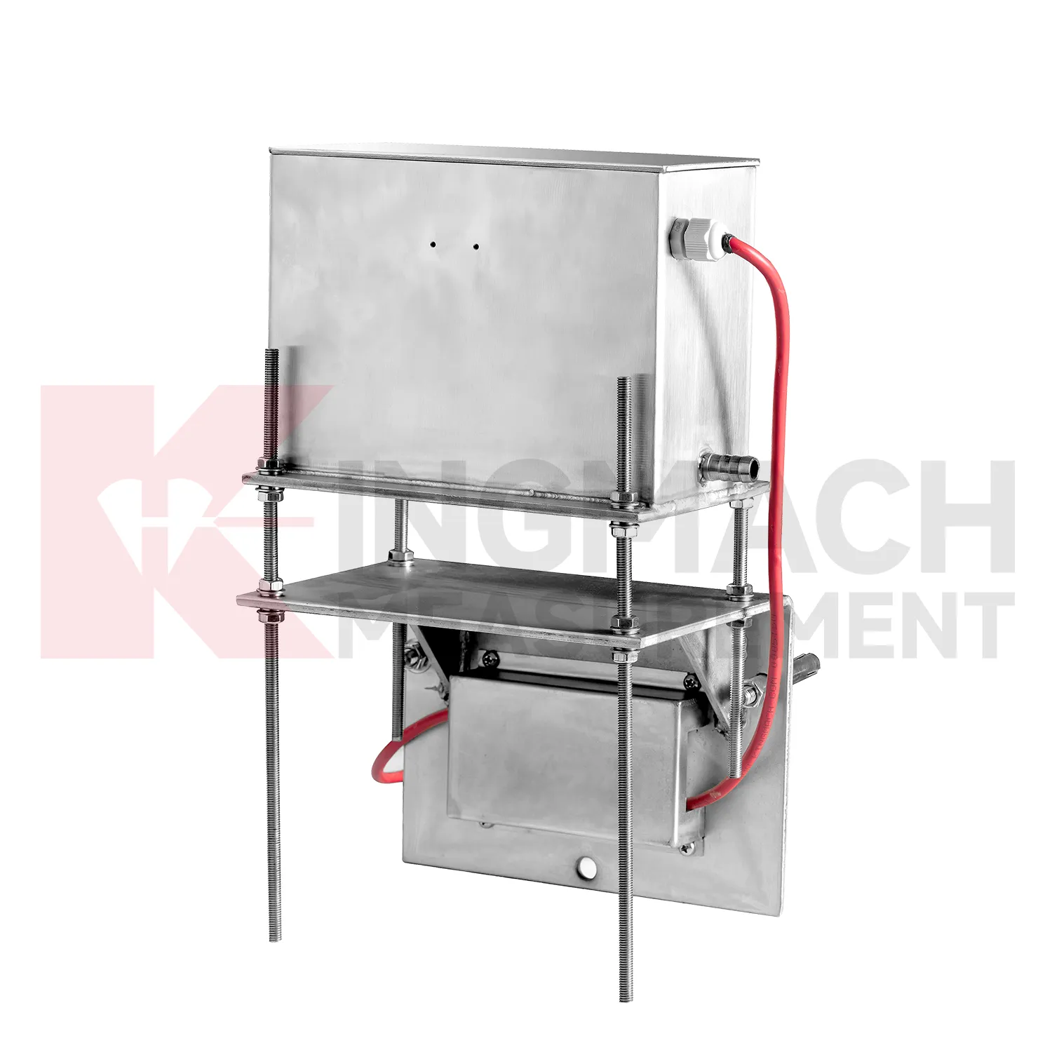
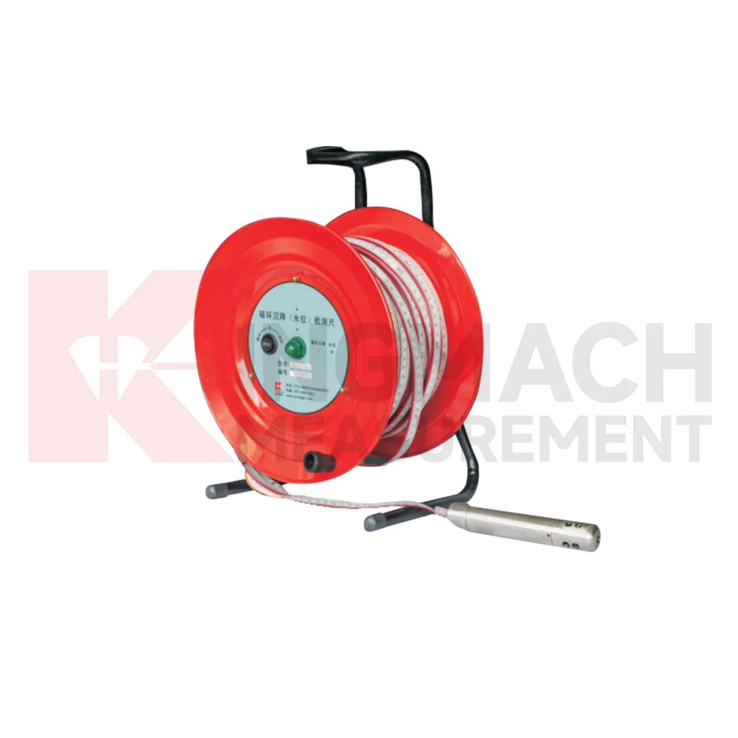
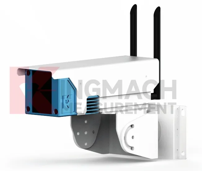
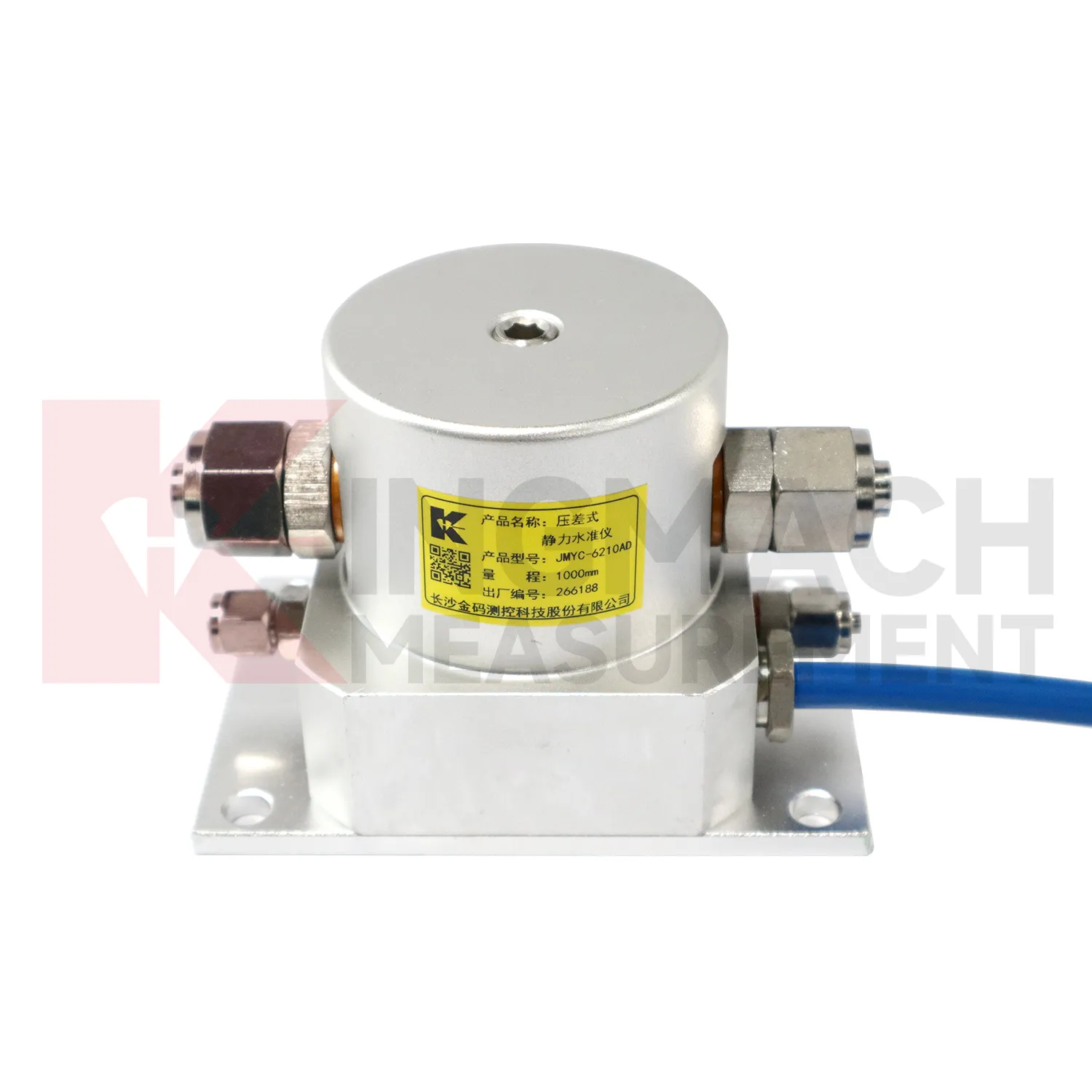
Kingmach Tilt Sensor should be selected from the engineering question outward. If the question is pile foundation settlement or tunnel bottom uplift, an embedded single-point gauge such as JMDL-47XXAT may fit the job. If the question is bridge deflection or building settlement across several points, hydrostatic instruments such as JMDL-62XXADT or JMQJ-62XXADT can compare vertical change against a reference. If the question is large settlement during soft foundation treatment or reclamation filling, JMYC-62XXAD provides wider travel from 500 mm to 4000 mm. If the question involves layered soil settlement and groundwater level, JMCJ-1003/1005 gives a borehole-based manual method. A good specification therefore starts with movement scale, reading frequency, access, groundwater condition, reference stability, and report needs. During procurement review, engineers should check range, resolution, accuracy, output signal, installation method, and maintenance access together rather than selecting from model names alone. The acceptance record should keep model, range, reference relationship, baseline, installation detail, and channel name together for later review. The acceptance record should keep model, range, reference relationship, baseline, installation detail, and channel name together for later review. The acceptance record should keep model, range, reference relationship, baseline, installation detail, and channel name together for later review. The acceptance record should keep model, range, reference relationship, baseline, installation detail, and channel name together for later review.
Application of Tilt Sensor
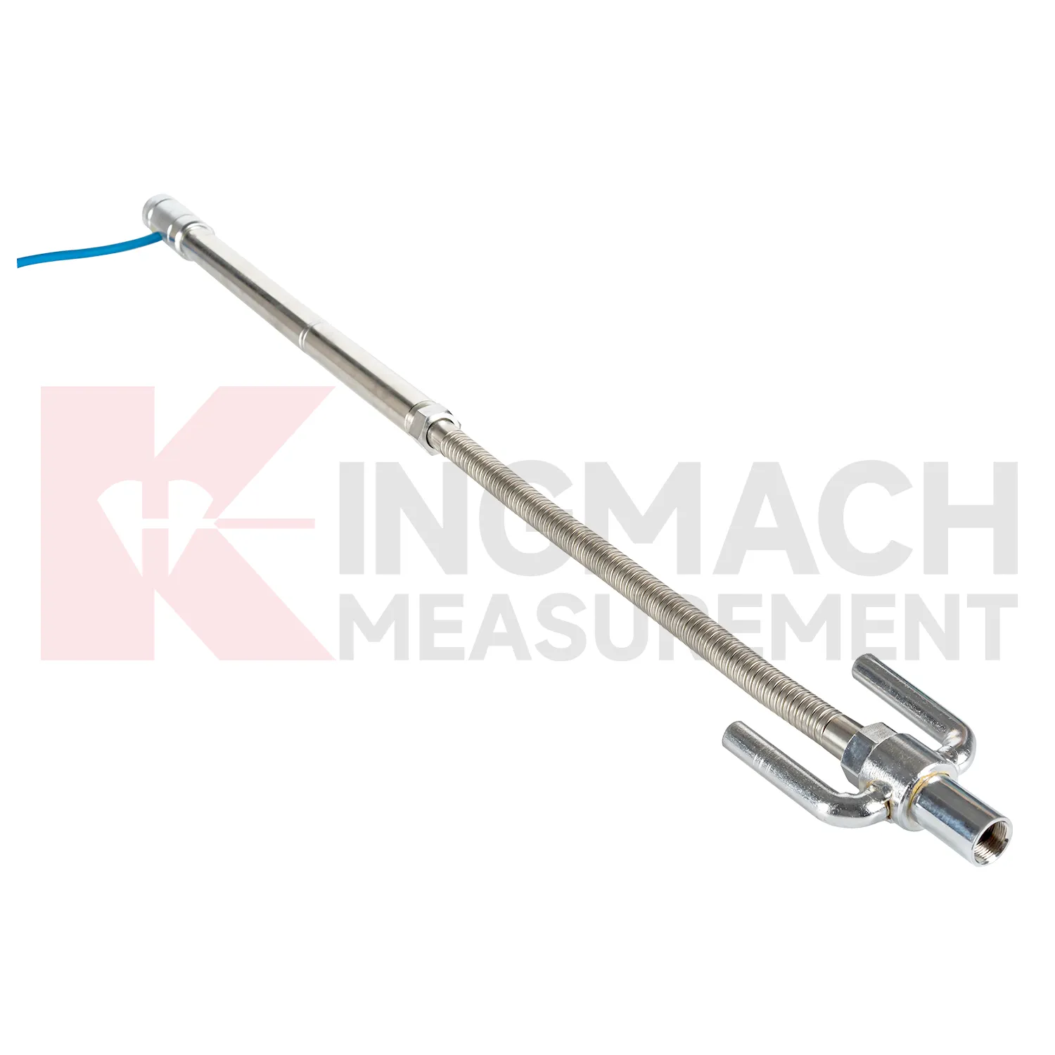
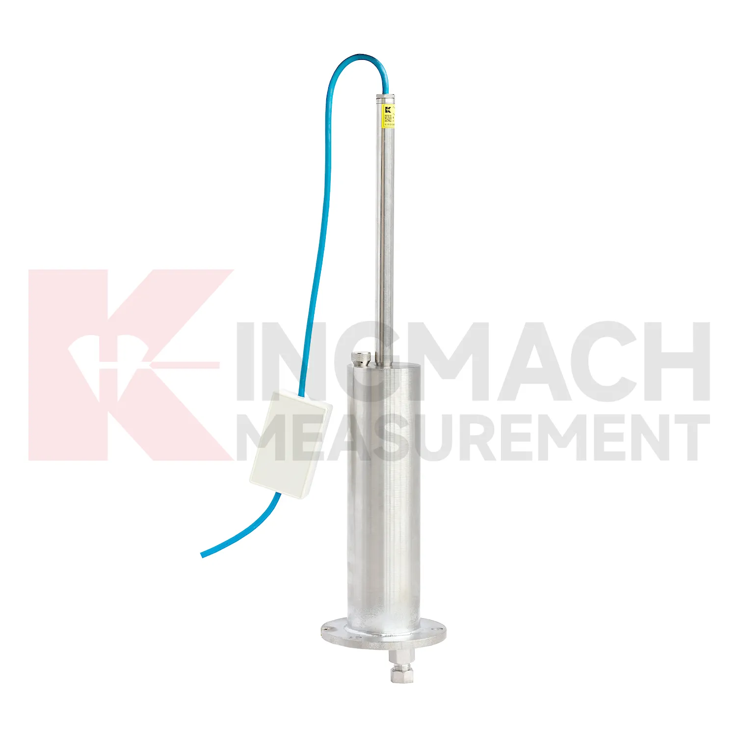
Pile foundations, dykes, and embankments use Tilt Sensor to verify vertical response during loading, filling, or long-term service. Kingmach JMDL-47XXAT is described for pile foundation settlement, dyke compression deformation, embankment heave, roadbed settlement, and base uplift in deep foundation pits. Its assembly includes a settlement plate, electrical displacement sensor, measuring rod with metal flexible conduit, anchor head, extension rod, and bottom anchor head. Published range options are 100 mm, 200 mm, 300 mm, and 400 mm, with gauge lengths from 760 mm to 2210 mm. Because the sensor is embedded, the installation record is almost as important as the reading itself. Crews should document depth, plate position, rod connection, cable exit, protection method, and nearby fill material before the location is covered. During loading, the curve can be checked against fill height, pile test stage, water condition, and surface survey marks. The side-exit cable arrangement helps reduce interference during pavement compaction, which is useful when monitoring must continue as construction equipment passes over the area.
The future of Tilt Sensor
Asset management will be a stronger future use for Tilt Sensor. Owners of railways, highways, bridges, dams, and buildings need to know which sections are stable, which sections are still consolidating, and which points need maintenance budget. Settlement data can support that ranking when it is collected consistently over years. Kingmach products such as JMDL-47XXAT, JMQJ-62XXADT, JMDL-62XXADT, JMYC-62XXAD, and JMCJ-1003/1005 give different ways to measure vertical movement and groundwater conditions. Future asset systems can connect those records to inspection cycles, repair history, risk level, and renewal planning. The result is a settlement record that supports long-term decisions, not only construction-stage alarms. A mature asset file should show which points are healthy, which require field checking, and which have reached the end of useful instrument life.
Care & Maintenance of Tilt Sensor
Care and maintenance of Tilt Sensor should begin before the first sensor is installed. Confirm whether the location needs an embedded single-point gauge, a hydrostatic leveling sensor, a wide-range differential pressure system, or a magnetic ring settlement water level gauge. Kingmach JMDL-47XXAT covers 100 mm to 400 mm embedded ranges, while JMYC-62XXAD covers larger 500 mm to 4000 mm hydrostatic ranges. Choosing the wrong range can shorten the useful life of the point or hide small early movement. The project file should record model, range, structure name, point elevation, expected movement direction, reference point, cable or tube route, and first stable value. During later checks, compare actual movement with the construction stage and nearby instruments. If a value approaches the end of travel, plan verification before the sensor saturates. Range management is maintenance because it protects the continuity of the settlement record.
Kingmach Tilt Sensor
Hydrostatic Tilt Sensor are useful when several vertical movement points must be compared against a reference rather than read as isolated values. Kingmach JMDL-62XXADT and JMQJ-62XXADT use connected liquid paths and digital output to monitor vertical deformation in structures such as bridges, dams, tunnels, large buildings, and subgrades. The JMDL-62XXADT lists 50 mm, 100 mm, and 200 mm ranges with 0.01 mm resolution and RS485 output. The JMQJ-62XXADT micro range hydrostatic level sensor lists 50 mm and 100 mm ranges, 0.01 mm resolution, RS485 signal, and IP68 protection. These products are most useful when the tube route, reference point, cabinet, and baseline are documented clearly. If the reference is unstable, every curve downstream becomes harder to trust. A good point record also names the reference location, installation elevation, data channel, and maintenance access so later readings can be checked without guesswork. A good point record also names the reference location, installation elevation, data channel, and maintenance access so later readings can be checked without guesswork.
FAQ
Q: How should Tilt Sensor be maintained?
A: Check reference points, tubes, cables, seals, settlement plates, anchors, probes, cabinets, and channel names at planned intervals.
Q: Should zero values be reset casually?
A: No. A reset can hide real settlement. If a reset is necessary, record the reason, time, old baseline, and new baseline.
Q: What data should be reviewed with settlement?
A: Rainfall, groundwater, excavation depth, filling stage, traffic loading, tilt, displacement, strain, and load data can all help explain settlement changes.
Q: What signs suggest a data issue?
A: Flat lines, sudden jumps after maintenance, impossible values, repeated communication gaps, or disagreement with nearby points may indicate instrument or data-chain problems.
Q: What makes a settlement report useful?
A: A useful report includes point location, model, range, baseline, reference point, latest reading, cumulative settlement, rate of change, and field notes.
Reviews
Andrew Lee
The visualization software is intuitive and powerful. It helps us analyze monitoring data efficiently.
Robert Taylor
The weir flow meter is well-built and delivers accurate measurements. Great value for water management applications.
Latest Inquiries
To protect the privacy of our buyers, only public service email domains like Gmail, Yahoo, and MSN will be displayed. Additionally, only a limited portion of the inquiry content will be shown.
Emma***@gmail.comCanada
Dear Sir/Madam, we are interested in displacement transducers and settlement sensors for a geotechni...
Amelia***@gmail.comSingapore
Hello, I am looking for visualization software for monitoring system data analysis. Please let me kn...