
 EN
EN
 ar
ar bg
bg hr
hr cs
cs da
da nl
nl fi
fi fr
fr de
de el
el hi
hi it
it ko
ko no
no pl
pl pt
pt ro
ro ru
ru es
es sv
sv tl
tl iw
iw id
id lv
lv lt
lt sr
sr sk
sk sl
sl uk
uk vi
vi et
et hu
hu th
th tr
tr fa
fa ms
ms hy
hy ka
ka ur
ur bn
bn mn
mn ta
ta kk
kk uz
uz ku
ku
Integrated Inclinometer
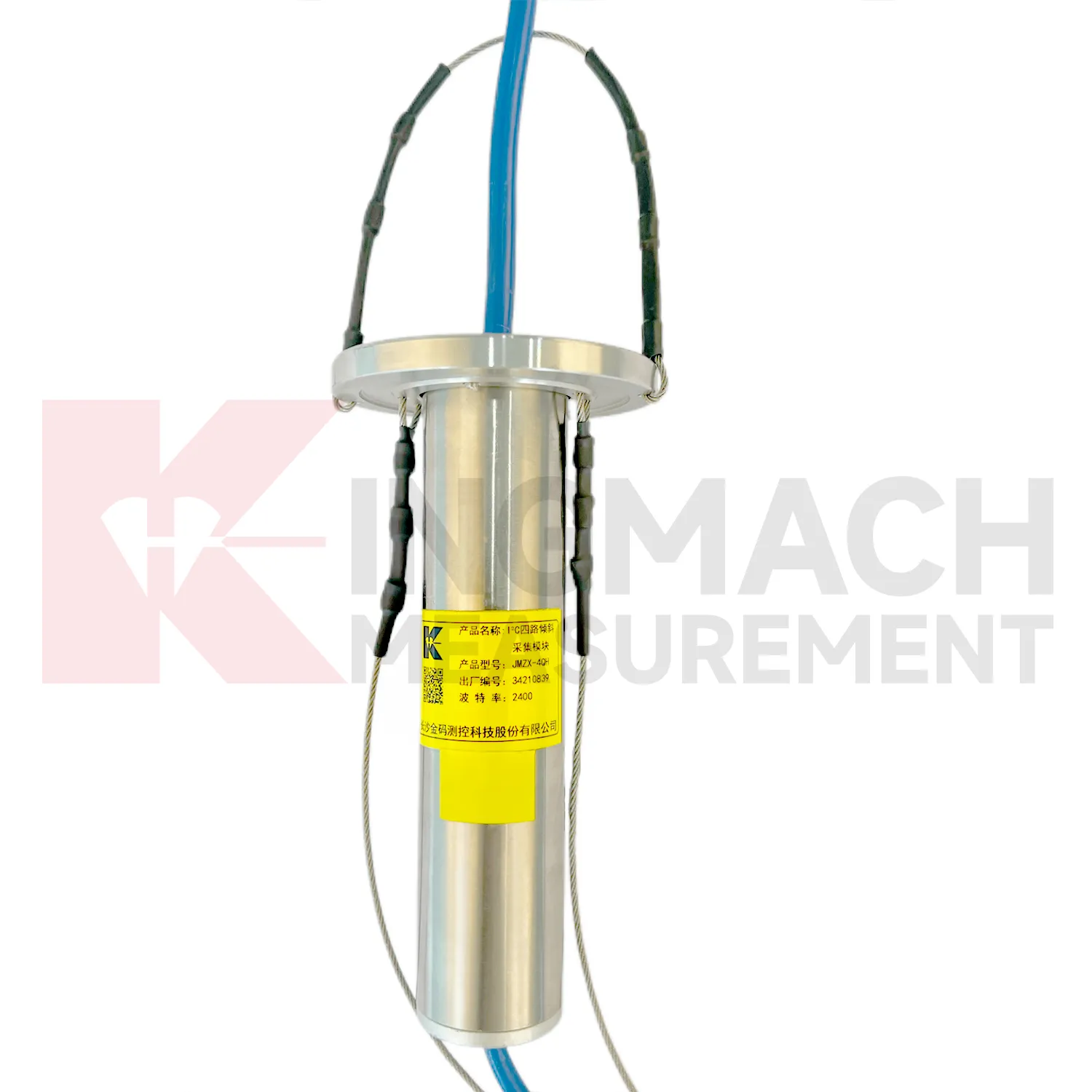
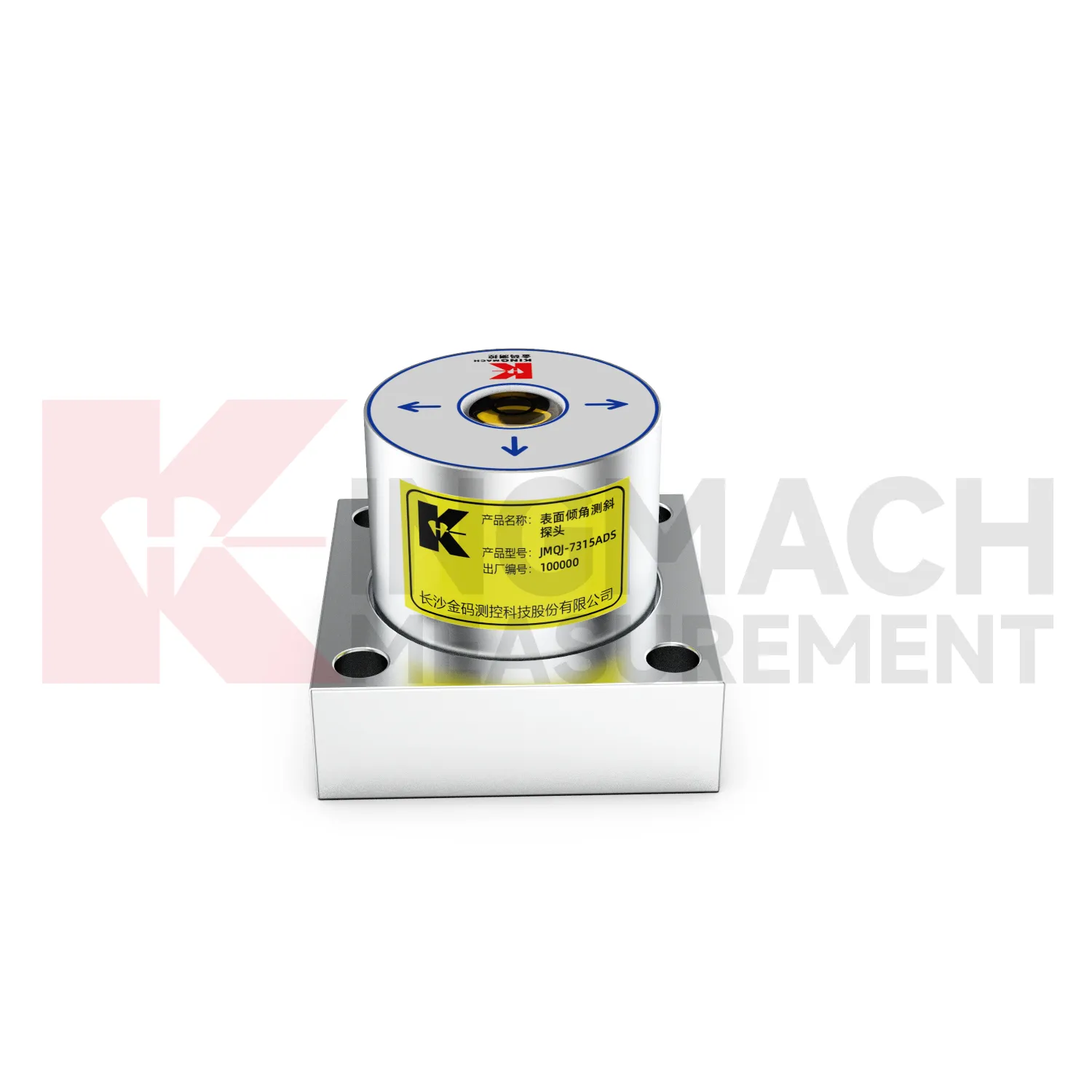
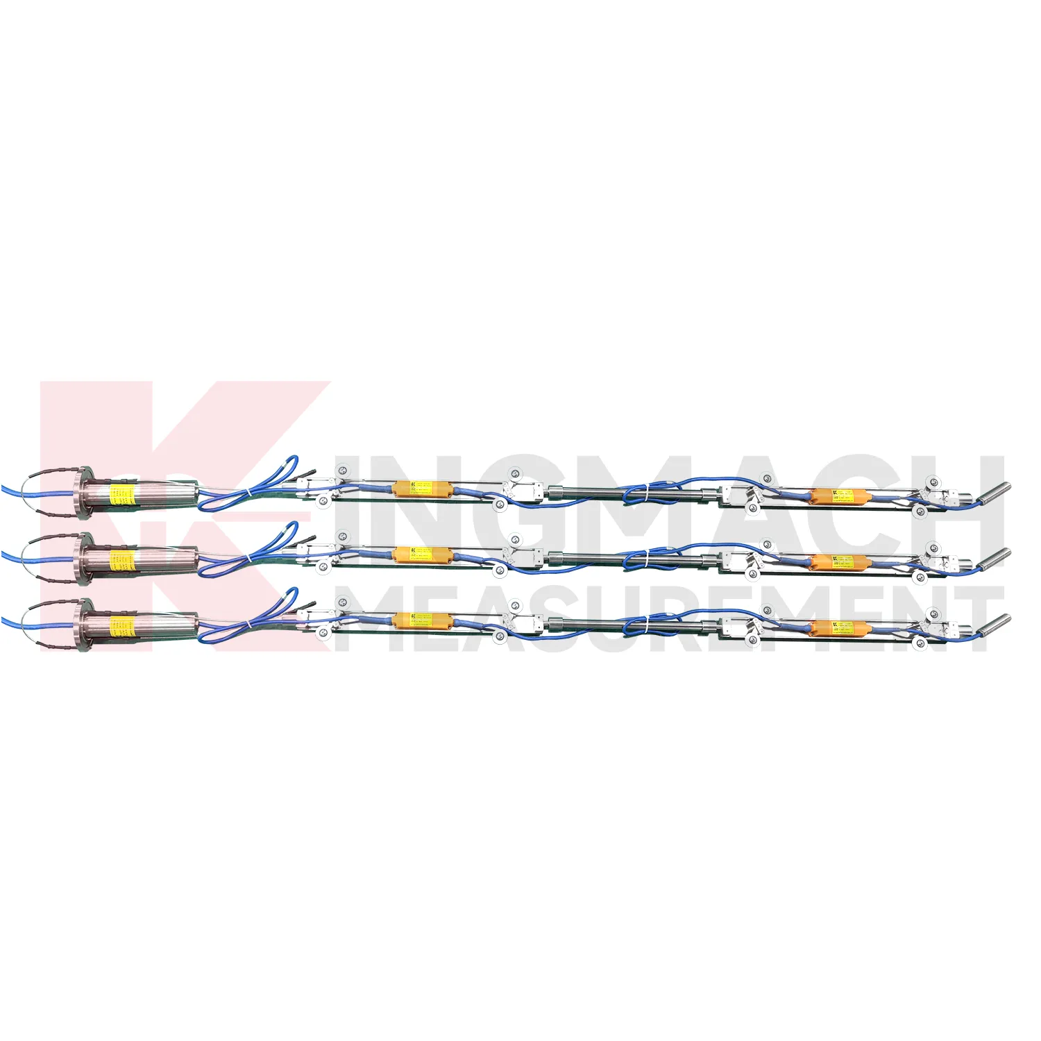
The delivery and installation form of Kingmach Integrated Inclinometer depends heavily on the product type. JMQJ-7315ADS and JMQJ-7315RTU are fixed sensors mounted to a structural surface or instrument base. JMQJ-7915ATS can be pre-assembled at the factory with bodies, cables, universal joints, extension rods, suspension, and acquisition unit according to designed measurement point spacing. JMZX-7100L is a sliding probe system used with inclinometer casing for field readings. JMZX-4QH is placed near the inclinometer tube orifice for protected acquisition. These physical differences affect packaging, installation labor, drawings, acceptance checks, and future maintenance. A clear acceptance file should include model, serial number, point location, borehole depth, axis direction, communication setting, first stable reading, and photographs before the area is closed or returned to service.
Application of Integrated Inclinometer
Tunnel projects use Integrated Inclinometer to observe lining deformation, invert response, station box movement, shaft walls, and surrounding ground behavior. Fixed tiltmeters can be installed on structural surfaces, while in-place inclinometer systems can measure internal movement near excavation zones or adjacent slopes. JMQJ-7315ADS has IP68 protection and RS485 output, making it suitable for wet underground environments when the cable route and cabinet are protected. JMQJ-7315RTU may be useful where wireless transmission is practical. Data review should include excavation stage, support closure, groundwater, vibration, train operation, displacement readings, and crack records. The installation file should show chainage, ring number, side, axis direction, and photographs because many tunnel points look similar after construction finishes.
The future of Integrated Inclinometer
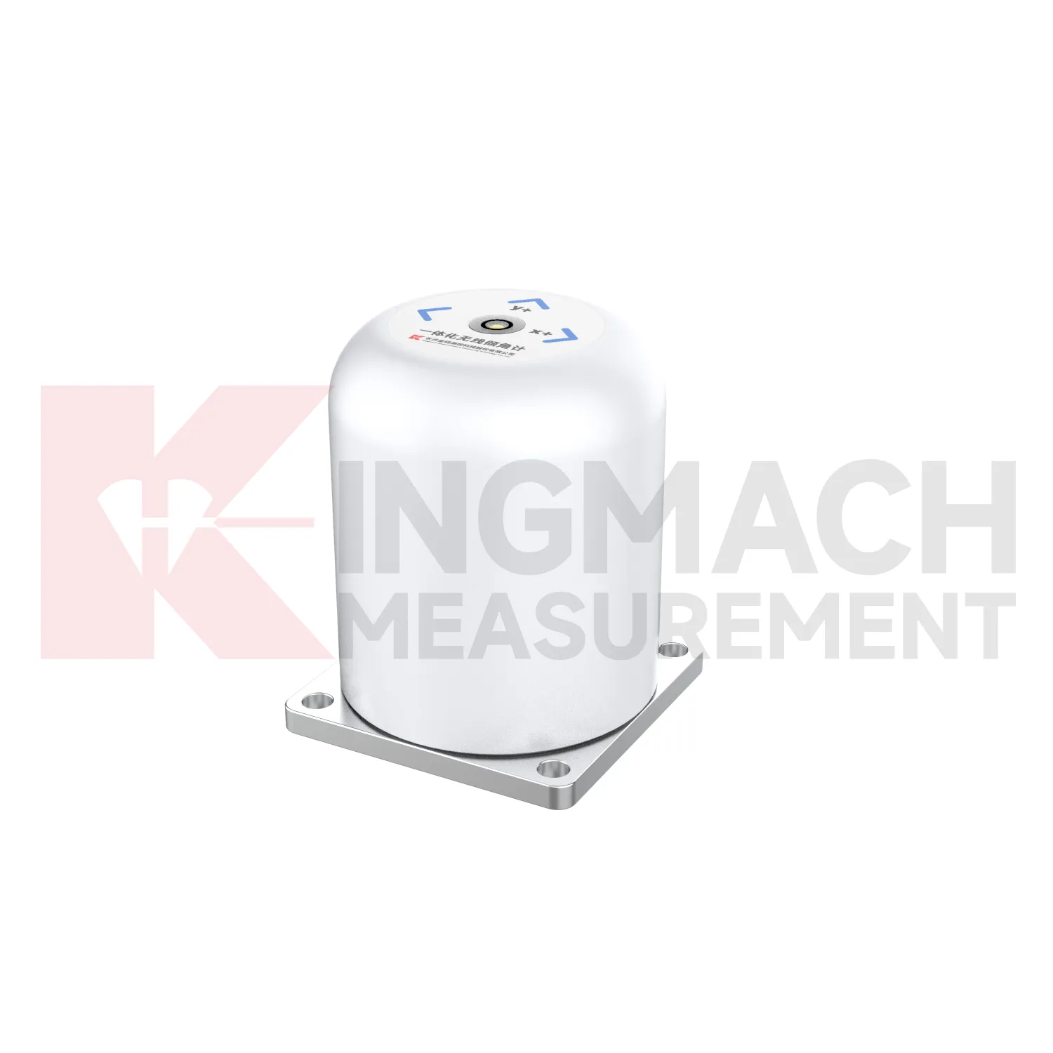
The future of Integrated Inclinometer will include stronger links to maintenance budgeting. Owners of bridges, railways, dams, tunnels, buildings, slopes, and towers need to rank which assets are stable and which require inspection or repair. Long-term tilt records can support that ranking when they are collected consistently and tied to structural locations. JMQJ-7315ADS, JMQJ-7315RTU, JMQJ-7915ATS, JMZX-7100L, and JMZX-4QH provide different paths for collecting angular or internal deformation data. Future asset systems can connect these records to inspection cycles, repair dates, weather events, and risk categories. The result is a tilt record that supports planning, not only construction-stage warnings.
Care & Maintenance of Integrated Inclinometer
Baseline maintenance for Integrated Inclinometer should be treated as a controlled record. The first value should be taken after the sensor, bracket, borehole string, or casing has stabilized. Do not reset a baseline silently when a curve looks inconvenient. If the point is moved, recalibrated, repaired, or replaced, keep the old value, new value, date, reason, technician, and related photographs. For in-place inclinometer systems, record depth position and group communication information. For sliding inclinometer work, keep the casing reference and reading direction consistent. A visible baseline history makes long-term tilt data easier to defend during review, especially when monitoring extends across construction stages and ownership handover.
Kingmach Integrated Inclinometer
On busy construction sites, Kingmach Integrated Inclinometer must survive dust, moisture, vibration, cable handling, and limited access. Product pages describe sealed waterproof and dustproof designs, MEMS sensing, differential measurement principles, and low-power operation for selected systems. JMQJ-7315ADS lists IP68 protection, DC 9V to 24V supply, RS485 output, and an operating environment from -30 degrees Celsius to +80 degrees Celsius. JMQJ-7315RTU adds 4G wireless output and a 3.6V 38AH battery for remote work. These details matter because tilt monitoring often runs after excavation, filling, traffic opening, or structural operation begins. Installation teams should protect mounting surfaces, cable entries, enclosure seals, and axis markings. A durable field setup keeps the tilt curve meaningful instead of turning every storm or cabinet fault into a data question.
FAQ
Q: What are Integrated Inclinometer used for?
A: They measure angular change or internal deformation in bridges, buildings, railways, slopes, dams, foundation pits, tunnels, and other structures where tilt or deep movement must be monitored.Q: Which Kingmach model is used for fixed structural tilt?
A: JMQJ-7315ADS is a fixed MEMS tiltmeter with +/-15 degree dual-axis range, 0.001 degree resolution, RS485 output, and IP68 protection.Q: When is JMQJ-7315RTU useful?
A: It is useful when wireless remote monitoring is needed because it combines MEMS tilt sensing, 4G digital output, and battery power.Q: What does JMQJ-7915ATS measure?
A: It measures multi-point inclination inside a borehole using a vertical in-place inclinometer string and an orifice acquisition module.Q: Can tilt data be used with other sensors?
A: Yes. It is often reviewed with settlement, displacement, strain, load, water level, rainfall, vibration, and inspection records.
Reviews
Andrew Lee
The visualization software is intuitive and powerful. It helps us analyze monitoring data efficiently.
Michael Anderson
The strain gauges and load cells are extremely accurate and stable. They performed very well in our bridge monitoring project. Highly recommended!
Latest Inquiries
To protect the privacy of our buyers, only public service email domains like Gmail, Yahoo, and MSN will be displayed. Additionally, only a limited portion of the inquiry content will be shown.
Isabella***@gmail.comGermany
Hello, we are evaluating weir flow meters for a water management project. Please share accuracy deta...
Harper***@gmail.comIndia
Dear Sir, we are planning to procure a complete monitoring system including strain gauges, tiltmeter...